
REVIEW · SERRA MALAGUETA & PICO DE ANTóNIA HIKES
Hiking: Monte Tchota Natural Park – Pico D’Antónia (1394m) – Longueira
Pico d’Antónia makes the climb feel worth it. This hike in Monte Tchota Natural Park is all about mixing effort with real scenery, from endemic plants and birds to a summit picnic and farmland on the way down.
I especially like two things: the chance to eat a picnic lunch at the top, and the way the day includes more than just walking, with time to learn about local crops and life in the Longueira mountains. The main drawback to keep in mind is that this is marked difficult, with narrow, tilted trails and some steep rock sections, so you’ll want solid fitness and the right footwear.
In This Review
- Key highlights to know before you go
- Monte Tchota Natural Park: why this hike feels different
- Getting from Praia to the trailhead (and settling into the day)
- Pico d’Antónia up to about 1,394 m: the main event
- The summit picnic stop: where you catch your breath
- Descent through steep rocks, then into farmland
- Longueira mountain houses and talking with a local family
- Guide and driver teamwork that keeps the day smooth
- How hard is it, really? (trail details you should respect)
- What to pack for Pico d’Antónia (and why footwear matters)
- Price and value: is $98.72 a good deal?
- Who should book this hike, and who should choose something easier
- Should you book Monte Tchota to Pico d’Antónia?
- FAQ
- Where is the hike located?
- How long does the tour take?
- How long is the walking distance and what difficulty level should I expect?
- What time does the tour start?
- Is pickup from Praia included?
- Is the admission ticket included?
- What should I bring?
- What are the age and fitness requirements?
- How large is the group?
Key highlights to know before you go
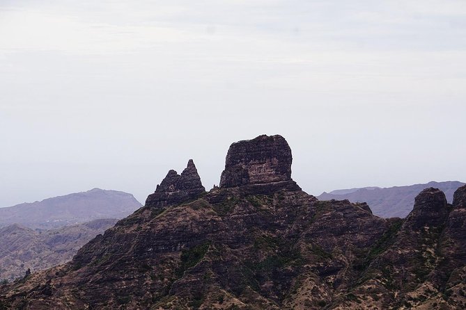
- Santiago’s highest point: Pico d’Antónia reaches about 1,394 m, with big views when weather cooperates
- Picnic on top: a lunch stop at altitude so you can slow down and take it in
- Local agriculture on the descent: you may pass corn, mango, coffee, or tomatoes depending on season
- Longueira mountain houses: carved homes plus a chance to talk with a local family
- Small group size: max 8 travelers, so pacing stays manageable
- Guide-led safety: an experienced local guide helps you handle the rocky, narrow sections
Monte Tchota Natural Park: why this hike feels different
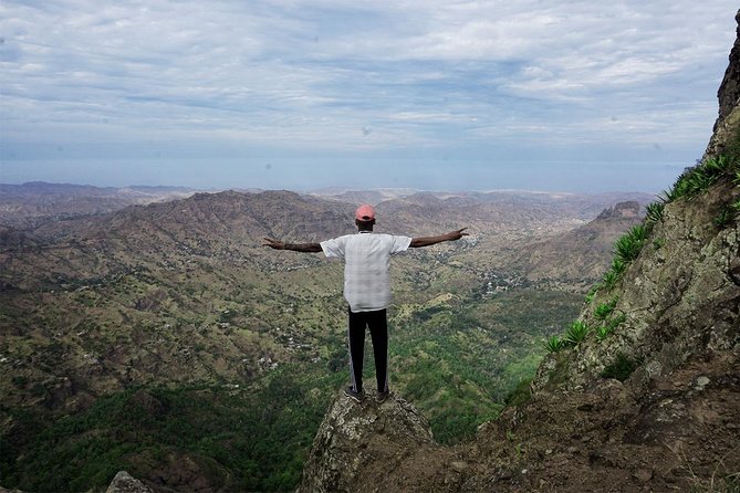
On Santiago, there are plenty of ways to see Cape Verde. This one hits a better balance: you actually move through the island’s living “backyard,” from protected natural areas to working fields, and you end by meeting people who live right in the mountains.
The core of the experience is the contrast. You start in a natural park setting, where you can spot endemic plants and birds, then you walk into agricultural zones where the scenery changes with the seasons. Finally, you reach the Longueira area, famous for homes cut into the mountains. That mix makes the hike feel like a story you walk through, not a single scenery stop.
The park part matters, too. Being outdoors for hours at around mid-altitude gives you time to notice details that you’d miss from a road. You’re not just chasing photos. You’re learning what grows there, what the land looks like, and why people farm and live the way they do.
Getting from Praia to the trailhead (and settling into the day)
The day starts early, with pickup in Praia at 8:30 am. You’ll spend a short time getting out to the hiking start area, then the hike itself begins in the unspoiled park.
One practical upside: the tour uses free admission included for the stops listed, so you can focus on the walk and not on figuring out tickets on the day. Another practical note is the schedule shape. The total trip runs about 6 hours, but the actual hiking time is around 4 to 5 hours. That means you’ll likely be tired, but not dragging yourself through the whole day.
Also, this is a one-way walking route. The route details are described as narrow and tilted, and some sections require level 1 climbing. Translation: you’ll want to trust your feet and use your body, not just your legs.
Other climbs into the Santiago highlands
- Serra Malagueta: Principal Valley Hike & Lunch with Locals★ 4.7 · 64 reviews
- Santiago: Calabaceira Valley Trek & Visit to Cidade Velha★ 4.8 · 49 reviews
- Santiago: Monte Tchota Natural Park to Pico d’Antónia Hike★ 4.8 · 43 reviews
- Serra Malagueta Natural Park Hike & Relaxing Swim at Tarrafal Beach★ 5.0 · 30 reviews
- Serra Malagueta Natural Park: Hike to Gongon Valley & Lunch★ 4.8 · 22 reviews
Pico d’Antónia up to about 1,394 m: the main event
The climb targets Pico d’Antónia, the highest point on Santiago Island at roughly 1,394 m. You’ll hike about 4.2 km up to the walking point of the peak, then later you’ll descend and continue through the fields.
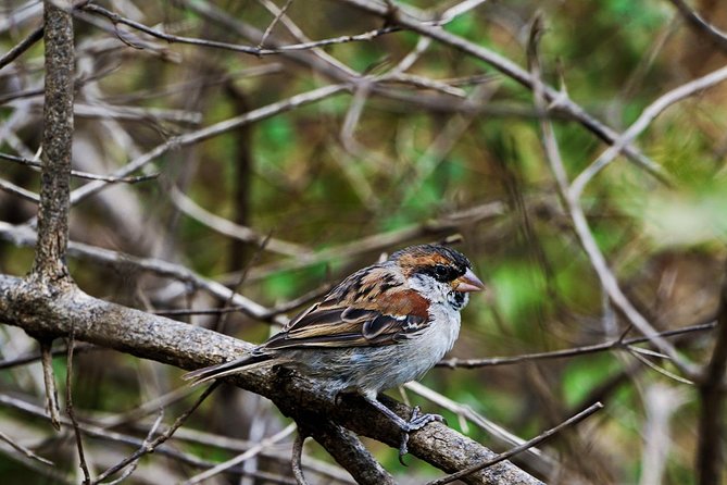
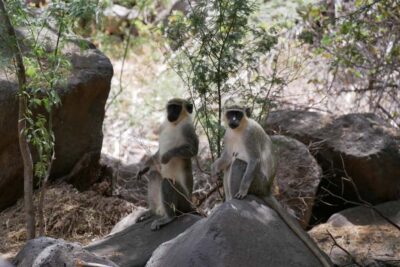
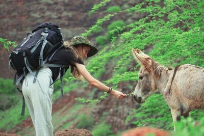
What makes this section satisfying is that it’s not just vertical effort. As you go, your guide points out endemic plants and local birds. That turns the uphill work into a guided walk with learning built in, instead of a “go suffer, hope for views” situation.
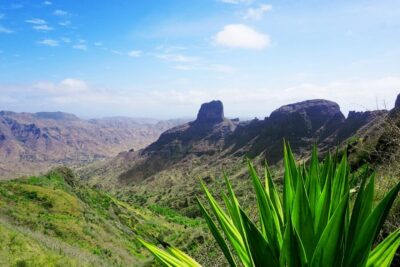
If weather is clear, you get panoramic views, and on good days you might even see Fogo Island on the horizon. That’s a fun extra if it’s visible, but it should be treated as a bonus, not a guarantee. In Cape Verde, weather can shift fast, and the tour is explicitly weather-dependent.
The biggest practical reality here: the trail is described as narrow and tilted, with some steep rocky moments later in the day. So don’t rush the early pace. I’d rather you get steady and controlled now, so the risky-feeling sections don’t feel worse when you’re tired.
The summit picnic stop: where you catch your breath
At the top, you’ll make a well-deserved stop for a picnic lunch. This is one of the most appreciated parts of the day, because it gives you a planned moment to slow down at altitude, eat well, and enjoy the views before you start the descent.
Even if the view is partly cloudy, the picnic stop still has value. You’re at the highest point of the island, so the air feels different, and you can take in the way the land changes around you. This is also when your guide can help you connect the scenery to what you’ve been learning on the trail.
The tour description mentions a nearby surprise if visibility is good. You might see Fogo Island with its volcano on the horizon, depending on conditions. If you do, great. If you don’t, don’t mentally punish the day. The effort has already paid off through the plants, birds, and the way the terrain tells you what Santiago is like.
Descent through steep rocks, then into farmland
After the picnic, the hike continues with a descent that includes steep rocks. This is where the difficulty matters. The route guidance says the path quality is narrow and tilted, and that you may need some simple climbing skills. A level 1 climbing label usually means: hands occasionally help, footing matters, and you should stay focused.
Then you transition into agricultural fields. The crops you pass depend on the season, and you could see corn, mango, coffee, or tomatoes. This is a nice way to understand how the island supports life at different elevations. The natural park part is about protection and habitat, while the farmland part is about work and everyday food.
You also walk among local houses carved into the Longueira mountains. That means you’re not just watching countryside from far away. You’re moving through a human-shaped landscape, where daily life has been shaped by terrain.
Longueira mountain houses and talking with a local family
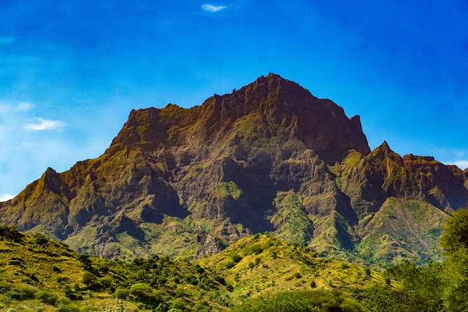
The Longueira segment is the emotional payoff for many people, because it turns the hike into a cultural experience, not only a physical one.
You’ll walk among carved mountain homes, and the program includes a visit to a local family to hear about daily life. This is where you get context for what you saw earlier: the agriculture, the way people use land, and how living in the mountains works in practice.
I like this part because it’s active and grounded. Instead of a scripted performance, you get a conversation element. In the reviews, the guide team is praised for answering questions and being eager to share recommendations. That kind of attitude matters here. It helps you ask better questions, and you leave with a sharper understanding of what you just walked through.
The houses carved into the mountains also make the terrain feel real. You can look at the slope and immediately see why people built homes this way. It’s practical architecture shaped by place.
Other walks, ridge paths and crater rims
Guide and driver teamwork that keeps the day smooth
The human piece really shows up. In the strongest feedback, the guide and driver are highlighted together, with people saying they felt safe at all times and that the team set a steady pace. The named guide Cátia and the driver Nilton are specifically mentioned as passionate about the country, answering questions, and making sure the group stayed comfortable while still hiking well.
That matters on a difficult hike. When trails are narrow, and there are steep rock sections, you don’t want a “figure it out yourself” vibe. You want someone who reads the group, watches footing, and keeps you moving steadily.
You’ll also appreciate this if you’re doing the hike as a way to see Cape Verde beyond beaches. The guides can connect what you’re seeing to how people live and what grows there. If you’re the type who likes asking small questions, this tour gives you room to do it.
How hard is it, really? (trail details you should respect)
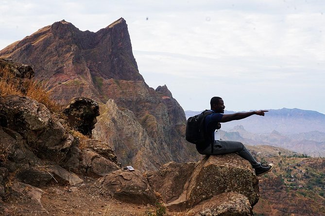
This hike is rated difficult, and the route information backs that up. Here are the practical numbers you should use to judge fit:
- Walking distance: about 9 km (plus or minus)
- Total walking duration: about 4 to 5 hours
- Elevation gain: about 660 m
- Elevation loss: about 1,280 m (you’re going down more than you climb because of the one-way route shape)
- Max elevation: about 1,400 m
- Min elevation: about 485 m
- Path type: one way, with narrow, tilted sections
What I’d take from that if you’re planning your day: you should be comfortable walking uphill for stretches, and comfortable with controlled downhill walking. If you have knee issues, take that seriously.
The tour also states it suits walkers with some fitness and no health problems, and it’s for participants over 16 years old. If any part of you feels unsure about steep, rocky footing, don’t gamble on it.
What to pack for Pico d’Antónia (and why footwear matters)
The tour’s gear guidance is very clear, and you should treat it as essential, not optional.
Bring:
- Hiking shoes
- Hiking pants (highly recommended from August to October)
- Hiking sticks (highly recommended)
- Hat, sunscreen, and water
I especially agree with sticks on this kind of route. When trails are narrow and tilted, sticks can help you balance during the moments when you feel the slope shift underfoot. And with a steep rocky descent, having that extra stability can make the whole second half of the hike feel less stressful.
Water is also non-negotiable. Even if you think you’ll be fine, you’re hiking for hours, climbing to high ground, and you may not have convenient refill stops described. So pack enough for your pace.
Finally, if you’re hiking in August to October, the recommendation for pants is worth following. Heat and sun can be intense, and pants also help protect your legs on narrow trails.
Price and value: is $98.72 a good deal?
The price is $98.72 per person, with pickup offered and a group limit of 8 travelers. For many hikers, the value comes from three things working together:
- You’re paying for an experienced local guide, which matters on narrow trails and steep rocks.
- You get a planned picnic lunch stop at the summit, which saves you from improvising food at altitude.
- The program includes a cultural visit to Longueira carved homes and a local family conversation, which adds depth beyond scenic hiking.
Admission for stops is listed as free, so you’re not stacking extra costs on top of the base price. The tour also offers a mobile ticket, which is practical.
If you’re comparing options, I’d consider this less about the exact dollar number and more about what you get for your effort. For a difficult, higher elevation hike in a small group, $98.72 feels reasonable because you’re buying safety support plus cultural time plus a summit food break.
Who should book this hike, and who should choose something easier
This hike is a strong match if you:
- Want fitness plus sightseeing in one day
- Enjoy guided learning, from endemic plants and birds to local crops
- Like conversations with locals, especially in a place like Longueira
- Are comfortable with a difficult trail and some basic climbing on narrow paths
It may not be the best fit if you:
- Need an easy walk, because the route is marked difficult
- Struggle with steep rocky descents
- Don’t handle narrow, tilted trails well
- Are looking for a short hike, because the total walking time is still 4 to 5 hours
If you’re visiting Cape Verde and only have one longer active day, this is a solid choice. If you’re already exhausted from other hikes, you might prefer something less demanding. This one asks you to show up prepared.
Should you book Monte Tchota to Pico d’Antónia?
I’d book it if you want an honest half-day challenge with real payoffs. The highest point of Santiago, a summit picnic, farmland scenery by season, and carved Longueira homes with a local family conversation is a strong mix. The guide quality matters here, and in the best feedback, Cátia and Nilton are praised for safety, steady pacing, and answering questions.
I’d also plan around weather. The hike requires good conditions, and if it can’t run due to weather, you’re offered another date or a full refund. That flexibility makes it easier to commit without feeling trapped by the forecast.
If you’re physically ready, pack well, and you like learning while you hike, this is a memorable way to experience Santiago beyond the coast.
FAQ
Where is the hike located?
The hike is in the Monte Tchota Natural Park area on Santiago Island, starting from Praia in Cape Verde.
How long does the tour take?
The duration is about 6 hours (approx.). Total hiking time is around 4 to 5 hours.
How long is the walking distance and what difficulty level should I expect?
The route is about 9 km (plus or minus) and is labeled difficult. The guide notes narrow, tilted trails with some steep rock sections and some level 1 climbing.
What time does the tour start?
The meeting start time is 8:30 am.
Is pickup from Praia included?
Yes, pickup from your hotel in Praia is offered.
Is the admission ticket included?
Admission tickets are listed as free for the stops included in the tour.
What should I bring?
You should bring hiking shoes, hiking pants (highly recommended from August to October), hiking sticks, a hat, sunscreen, and water.
What are the age and fitness requirements?
The activity is for travelers over 16 years old and is suitable for walkers with some fitness and no health problems.
How large is the group?
The tour has a maximum of 8 travelers.
Hikes and Treks on the Islands
All Our Cape Verde Reviews
Serra Malagueta and Pico de Antonia
More Cape Verde tours from the same review pile
- Hiking Águas Belas Cave
★ 4.5 · 3 reviews - Santiago Island: Private Airport Transfer to Praia or Vice Versa
★ 5.0 · 3 reviews - Best of Santiago Island: Cidade Velha, Workshop & Tarrafal Beach Tour
★ 4.5 · 3 reviews - Cape Verde: Best Hikking Trails of Santiago Island – 6 Days
★ 5.0 · 3 reviews - Praia: Plateau and Cidade Velha Guided Tour
★ 5.0 · 3 reviews - Praia City Tours
★ 3.4 · 3 reviews
Serra Malagueta & Pico de Antónia Hikes, compared.
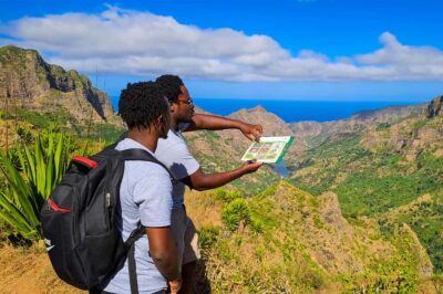 ★ 4.7Serra Malagueta: Principal Valley Hike & Lunch with LocalsFrom $11164 reviews
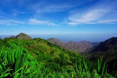 ★ 4.8Santiago Island: Serra Malagueta & Tarrafal Beach Trek TourFrom $10661 reviews
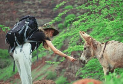 ★ 4.8Santiago: Calabaceira Valley Trek & Visit to Cidade VelhaFrom $8249 reviews
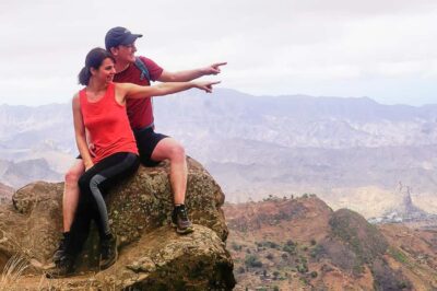 ★ 4.8Santiago: Monte Tchota Natural Park to Pico d’Antónia HikeFrom $10043 reviews
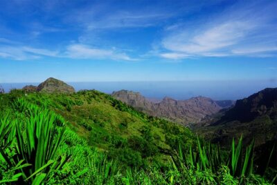 ★ 5.0Serra Malagueta Natural Park Hike & Relaxing Swim at Tarrafal BeachFrom $10430 reviews
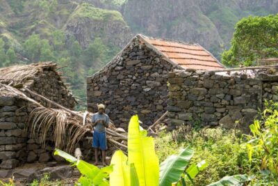 ★ 4.8Serra Malagueta Natural Park: Hike to Gongon Valley & LunchFrom $10622 reviews
 ★ 5.0Santiago Island: 4-Hour Calabaceira Valley Hike & Guided Tour to Cidade VelhaFrom $8118 reviews
 ★ 5.0Santiago: Trek from Serra Malagueta to Rabelados CommunityFrom $11116 reviews
Browse the lists this tour appears in